
|
|
|
|
|
|
|
|
|
|
|
|
|
|
|
|
|
Region
East: Melville Hall River to Delices (Mulatre River)
|
|||||
|
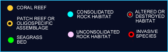
Because of the high-energy environments, benthic communities generally cover very little (less than 1 %) of the the rocky shelf, at least in waters up to 40 meters. Only where geographic features like coves, secluded bays and small islands, dissipate the strength of waves, are larger animals and plants with erect growth forms able to permanently attach themselves to the sea floor. Fringing reefs are well developed in at Middle Bay and Panto Hole near Marigot, Anse Quanery or St. David's Bay south of Castle Bruce and Grand Marigot Bay by Saint Sauveur. All of these bays are facing North and are slightly protected from the Atlantic surge by small islands or rocky outcrops. As in the North, A. palmata was an important framework builder of theses structures but its live cover is currently negligible. Habitat alteration in recent years (2002 - 2006) include the burying of coral habitats (Marigot) and reefs (Saint Sauveur). For each of the following areas /sites, colored dots (see key below map) mark the presence of specific habitats baring sessile epibenthic communities. The areas/sites are: 1. Melville Hall River to Pagua Bay (S); 2. Pagua Bay (S) Anse Quanery or St. David's Bay (S); 3. Anse Quanery or St. David's Bay to Grand Marigot Bay, Saint Sauveur; 4. Saint Sauveur to Delices, Mulatre River. |
|||||
|
|


INDEX | INTRODUCTION |REGIONS | HABITATS | SPECIES | STATUS | CONTRIBUTORS | REPORTS
Institute
for Tropical Marine Ecology ITME Inc., P.O. Box
36, Roseau, Commonwealth of Dominica.
ITME
is a not-for-profit institution for environmental education and research.